|
|
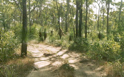
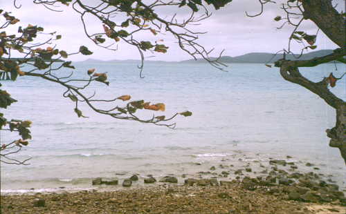
Cape York Peninsula |
|
|
|
Cape York Peninsula |
|
Had thought about how to see most of the Cape York Peninsula without simply cycling up and down its only track/road. Decided to take the barge from Karumba to Weipa, cycling up to the cape itself and then all the way back down. By doing so would I only cycle the last few hundred kilometer twice but also get to see some areas off the main track.
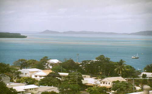
Weipa
 Weipa
Weipa
As I said before, the gravel road to Weipa is a dead end; You gotta cycle
back the same way you came (unless you took the ship). (There're also a few
bush tracks. Only for real cracks!).
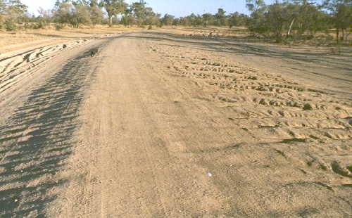
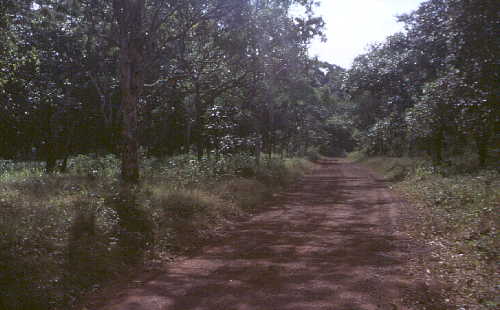
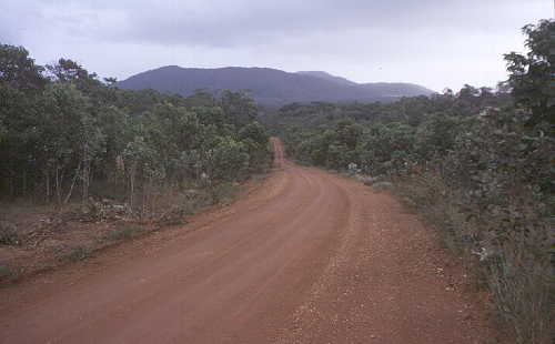
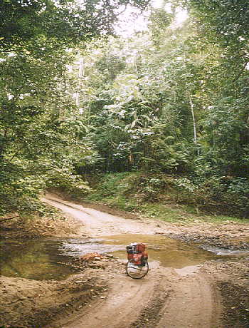
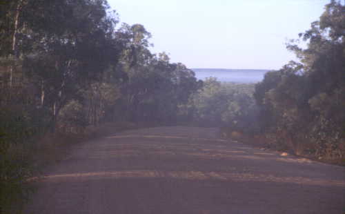
Cycling on north to the cape itself you should be prepared for hundreds of kilometer
of most difficult track.
For those interested: there're two possibilities: the new track (driven
by most 4WDs; heavy sand and corrugation) and the famous-notorious
"Old Telegraph Track". More of this one further down the page.
Moreton Station
First you've got to cross the Wenlock River! Be aware of possible crocs!
After that you may relax at Moreton Station if you feel like it. You even
may camp here. But there's no food available at the station! Only water - to
get out of the river you crossed before.


Bamaga
Bamaga
Bamaga
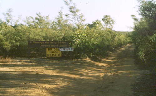
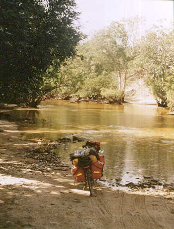
Short of Bamaga you gotta cross the Jardine River. 'Cause it's way to big
to get through - 150m wide and inhabited by salties - you have to take
the old ferry (at the new track).
Most of the surrounding area is part of the
Jardine River
National Park.
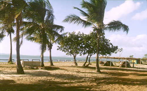
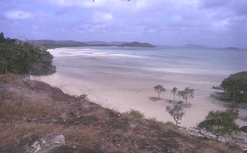
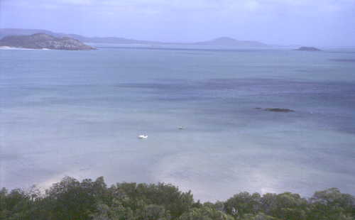
Seisia
Seisia Village
Seisia is a perfect base. Shopping in Bamaga, possible to cycle to the cape
and back within a day, excursion to Thursday Island, relaxing at the beautiful
beach.
Alternatives if your 'butt' doesn't want anymore: plane (from Bamaga), ships
(from Seisia or Horn Island).


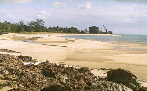
Thursday Island
Thursday Island
Thursday Island
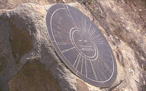
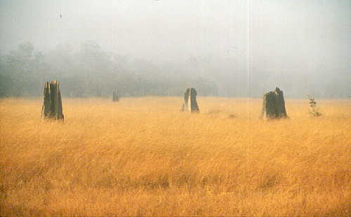
Cape York
Cape York
Cape York is the northernmost tip of Australia.
Not accessable at all during the rainy season did it become a pretty popular
destination for 4WDs during the dry season. Camping, Caravan Park and a Lodge
are nearby.

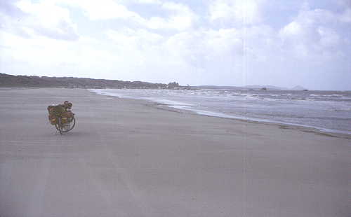
Being back from the Cape to Seisia did I learn about another barge. Comes in once a week from Cairns and even drops in at Lockhardt River from time to time.
Made a few phone calls, all with the result "ask the captain". So I did. "Sorry, no. But next week we'll probably stop by at Lockhardt River." Decided to wait and relax for that week - and got the passage. Though I didn't get to Lockhardt River right away. Had to change into a smaller barge, then into a dingi which set me off somewhere at the beach. "See that tower in the distance? That's Lockhardt River! Just cycle along the beach, it's only four or five kilometer."
Iron Range NP
Iron Range National
Park (!!)
Iron Range National
Park
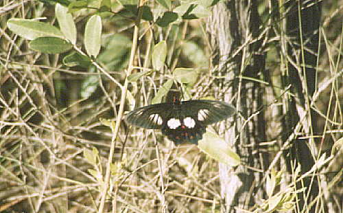
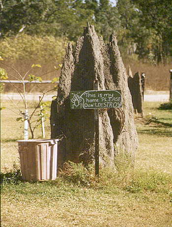
The Iron Range NP is the biggest lowland - rain forest of Australia. This
geographically very isolated rain forest is for example home to the eclectus
parrot, palm cockatoo, fawn-breasted bowerbird, red-bellied
pitta, cassowary, green python and the spotted cuscus.
Camping only at designated areas. Do follow this as you otherwise may disturb
the rare animals! Permit required for camping (easy to obtain). Services in Lockhart
River.
Coen
Coen
Coen
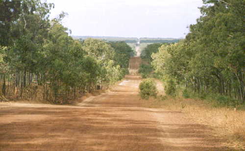
The town itself isn't that interesting (except for stocking up food).
But heading south may you choose a very interesting alternative: east
of the new track still runs the old one. No longer maintained did it
degenerate to a pure track covered by washouts, corrugation and bull dust.
30km further south does it meet the new track again.

Musgrave Station
Musgrave Station has one of the - in the south - regular roadhouses. And even
an interesting one!
Probably everyone will be glad to spend some time and relax after all that
sand, dust and corrugation. Camping (with shower) is possible too.
Laura
Laura
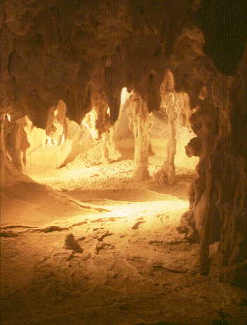
Chillagoe / Mungana Caves NP
Chillagoe
Mungana Caves ,
Mungana Caves
NP
Mungana Caves
(!!)
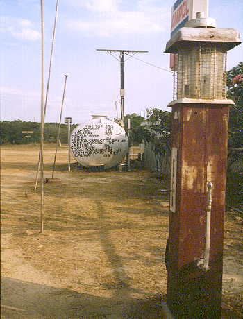
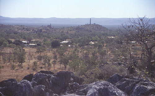
Chillagoe is a little town at the end of the bitumen. Supermarket, Motel,
Hotel, Caravan Park, Camping, all available.
Main attraction are the limestone caves. There are
closed caves as well as open ones. Some can be visited by guided tours, others
have to be explored by oneself.
If you got some time don't miss the smelter. Well worth it.
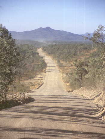
Burke Developmental Road
Burke Developmental Road
Cairns - Normanton (or vice versa) should definitely be cycled by way
of Mt. Surprise, Georgetown and Croydon. This is by far the
most reasonable and practical route.
Only for those with adequate experience and equipment is the
following route: the "Burke Developmental Road". That's
580km (Chillagoe - Normanton) without anything! You have to carry food
for the full distance, water can be taken out of the few rivers (but
only for a few weeks after the rainy season).
In generell: This route can be done only during the first or second month
after the rainy season. Later, and you will have to dig yourself through
580km of bulldust!